



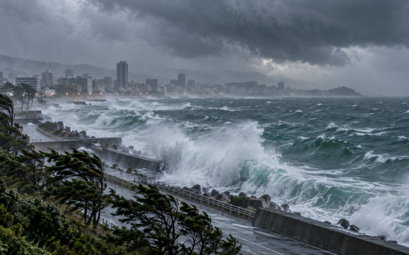
Typhoon Dujuan is approaching eastern Japan on September 21 with forecasts calling for heavy rainfall, violent winds and high seas around the Kanto-Koshin region, including areas surrounding Tokyo. Japan Meteorological Agency-based forecasts placed Dujuan south of Honshu with sustained winds around 120 kilometres per hour and gusts potentially reaching about 176 kilometres per hour before the storm turned north and northeast along Japan’s Pacific coast.
Airlines have begun preparing for disruption. Delta Air Lines issued a travel waiver covering Tokyo Haneda flights on September 20 and September 21, allowing affected travellers to change qualifying bookings without the normal additional cost, while businesses and public facilities in parts of the region announced temporary closures because of the storm.
Where is Typhoon Dujuan expected to pass on September 21?
Forecasts based on Japan Meteorological Agency data showed Dujuan curving toward the north and northeast and passing relatively close to the Kanto-Koshin coast from around midday through Monday night. The storm was expected to remain at typhoon strength during its closest approach before accelerating toward waters east of the Tohoku region.
The projected track places the Tokyo metropolitan area on the side of the system exposed to strong winds, rain and rough seas even if the centre does not make a direct landfall over the capital.
Forecast tracks can change as a tropical cyclone moves, making updated warnings more important than any single earlier projection. Residents and travellers should therefore follow current Japan Meteorological Agency and local-government instructions rather than relying solely on previous track maps.
How powerful has Dujuan become?
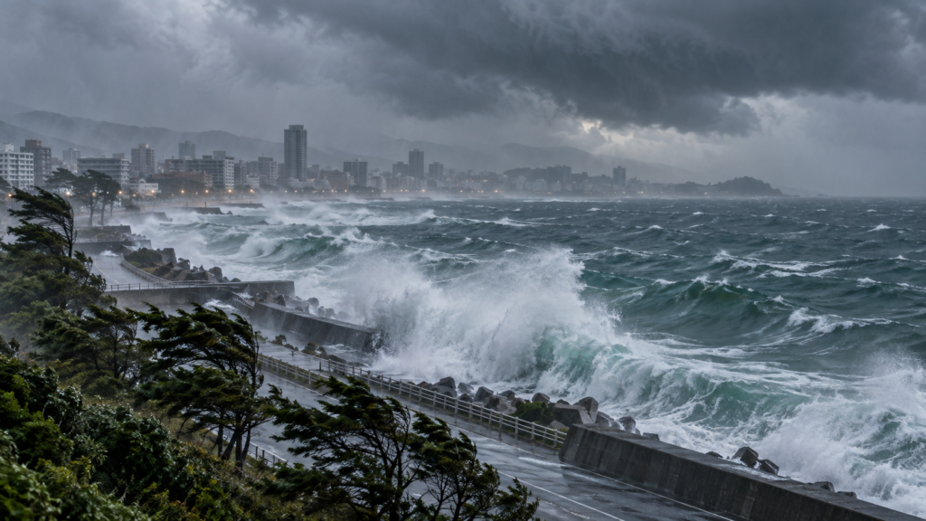
As of the September 20 observations cited by Weathernews from JMA data, the storm had a central pressure of about 970 hectopascals, sustained winds near 120 kilometres per hour and maximum gusts near 176 kilometres per hour. Its broad wind field extended hundreds of kilometres from the centre.
That large circulation means disruptive conditions can occur well away from the eye. Coastal communities can face high waves and storm-driven seas even where rainfall or wind in urban centres remains less severe.
Japan’s mountainous terrain also increases landslide and flash-flood risks because intense rainfall can be channelled rapidly into rivers and steep slopes.
Will Tokyo airports and airlines be affected?
Airline disruptions are possible, particularly at Haneda, although the exact number of cancellations depends on the storm track, winds and airline operating decisions. Delta issued a weather waiver specifically covering Tokyo Haneda for travel on September 20-21, allowing eligible passengers to rebook travel through September 24 under the waiver conditions.
Other carriers can make separate decisions based on aircraft positioning and airport conditions. Even when airports remain physically open, high winds can reduce runway capacity and force delays because aircraft need greater spacing or cannot safely operate certain approaches.
Rail and road travel may also be affected if rainfall increases flooding or landslide risk. Japan routinely suspends services proactively when meteorological conditions exceed operating thresholds.
Does Dujuan threaten the Aichi-Nagoya Asian Games?
Asian Games organisers have been watching the storm closely because the Games began on September 19 and already experienced weather problems before the opening ceremony. Earlier torrential rain caused local flooding, disrupted transport and forced several hundred athletes to leave temporary accommodation until conditions improved.
Initial forecasts had raised the possibility of a direct threat to the Aichi-Nagoya area. More recent projections have placed the storm’s closest approach farther east toward Kanto, reducing but not necessarily eliminating weather-related disruption around Games operations.
Japan’s delegation leadership said organisers had developed contingency arrangements after some competitions were already delayed or postponed by earlier severe weather.
Why is the storm particularly disruptive during Japan’s September holiday period?
Dujuan is crossing Japan’s transport environment during a period of elevated domestic travel. That increases the number of travellers potentially affected by flight changes, railway suspensions and highway restrictions.
Tokyo is one of the world’s largest aviation and rail hubs, meaning disruption there can quickly affect connections across Japan and international routes throughout Asia and North America.
A slow or changing storm can also create complications because operators must decide whether to cancel services before conditions deteriorate. Those precautionary decisions can produce disruption even in places that ultimately avoid the worst weather.
What are the key takeaways from Typhoon Dujuan’s approach?
Dujuan remains a significant tropical system capable of producing strong winds, heavy rainfall and dangerous seas along eastern Japan. Forecasts indicate its closest approach to Kanto during September 21 before the storm accelerates northeastward.
Tokyo aviation faces a credible disruption risk, with at least one major international carrier already offering travel waivers. The Asian Games remain under weather monitoring, although the latest projected track places the greatest direct threat east of Nagoya.
What should travellers and residents monitor through September 21?
The most important information will be updated rainfall warnings, railway notices and airline operational changes. Typhoon impacts depend heavily on local geography, meaning a region well away from the storm centre can still experience serious flooding or landslide conditions.
For international travellers, airline apps and airport notices should be checked before leaving for terminals. For residents, municipal evacuation and weather warnings should take priority because the storm’s broad circulation can generate locally severe conditions even if Dujuan remains offshore.
Discover more from Business-News-Today.com
Subscribe to get the latest posts sent to your email.