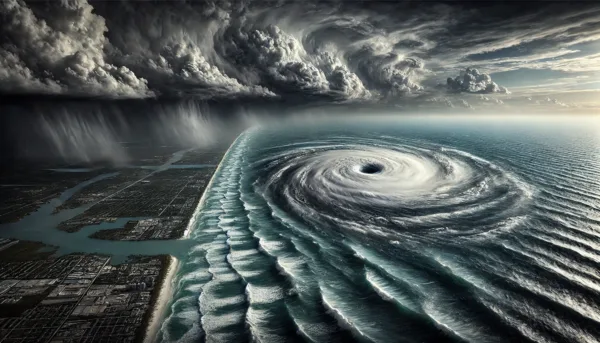
Hurricane Helene has rapidly intensified, reaching Category 4 status, and is barreling toward Florida’s Gulf Coast with destructive winds and life-threatening storm surges. The National Hurricane Center has warned of catastrophic damage, urging residents in vulnerable coastal areas to evacuate immediately. Experts predict this storm will bring winds exceeding 130 mph, flash flooding, and surge levels as high as 20 feet. This storm, which is poised to make landfall near Florida’s Big Bend region, is threatening widespread devastation.
The Gulf Coast is already under a state of emergency, with local officials racing to prepare for what could be one of the most devastating hurricanes in years. Helene, fueled by the unusually warm waters of the Gulf of Mexico, has intensified rapidly over the past 48 hours, posing a growing threat not only to Florida but also to neighboring states. With its wind field extending over 400 miles, the storm’s massive size is expected to inflict significant damage far beyond the immediate coastal areas, with strong winds, heavy rain, and inland flooding projected to impact the southeastern United States.
Critical storm surge warnings in place
The most significant danger from Hurricane Helene remains its storm surge, which is expected to inundate low-lying areas. Coastal zones could face surges of up to 20 feet, with water pushing inland and flooding homes and infrastructure. Meteorologists have called the surge “catastrophic” and say this could be the most dangerous element of the storm. The combination of the surge and the tide will push ocean water onto land, potentially leaving entire communities submerged.
According to experts, Helene’s rapid intensification can be attributed to exceptionally warm Gulf waters, a growing concern amid rising sea temperatures linked to climate change. The hurricane’s destructive potential has been exacerbated by this warming trend, which fuels stronger, faster-developing storms, putting more regions at risk.
Widespread power outages and infrastructure damage expected
Emergency response teams across Florida and the southeastern U.S. are on high alert, preparing for widespread power outages and damage to infrastructure. Utilities have been reinforcing power grids, but Helene’s strength could leave millions without electricity for days, if not weeks. Additionally, travel routes are already gridlocked as thousands of Floridians flee inland, escaping the brunt of the hurricane. Officials have warned that roadways in low-lying areas are likely to flood, potentially trapping those who do not evacuate in time.
Though Helene will likely weaken after making landfall, it is expected to continue wreaking havoc as it moves inland, bringing severe weather to states like Georgia, Alabama, and the Carolinas. Heavy rain and the risk of flash flooding will persist even after the winds subside, creating extended periods of dangerous weather conditions across the region.
Expert insights on storm intensity
Meteorologists are particularly concerned about the unprecedented strength of Hurricane Helene as it approaches Florida. One expert explained that the warm waters of the Gulf acted as a “fueling station” for the storm, allowing it to strengthen beyond initial predictions. The sheer size and power of the storm, combined with the likelihood of high storm surges, could make Helene one of the most devastating hurricanes in recent years.
Residents are urged to heed evacuation orders and make final preparations, as tropical storm conditions are expected to arrive within hours. Local authorities are continuing to monitor the situation closely, providing constant updates on evacuation zones, safety shelters, and emergency resources.
Discover more from Business-News-Today.com
Subscribe to get the latest posts sent to your email.


